Social Studies
Indus Valley Civilization Builder
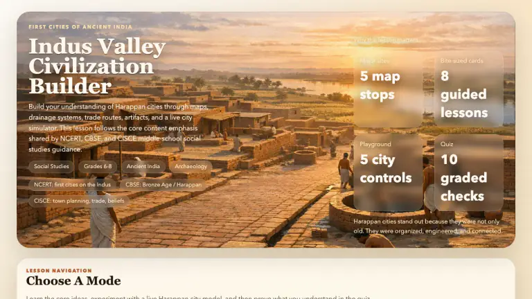
Interactive social studies lesson on Harappan cities, rivers, planning, crafts, trade, and historical evidence.
indus-valley-civilizationharappan-civilizationancient-indiatown-planning
Browse the complete catalog of hands-on labs and visual explainers. One featured lesson is open to everyone each week; free accounts can open three lessons each month, and Plus unlocks them all.
Search Results
Interactive social studies lesson on Harappan cities, rivers, planning, crafts, trade, and historical evidence.
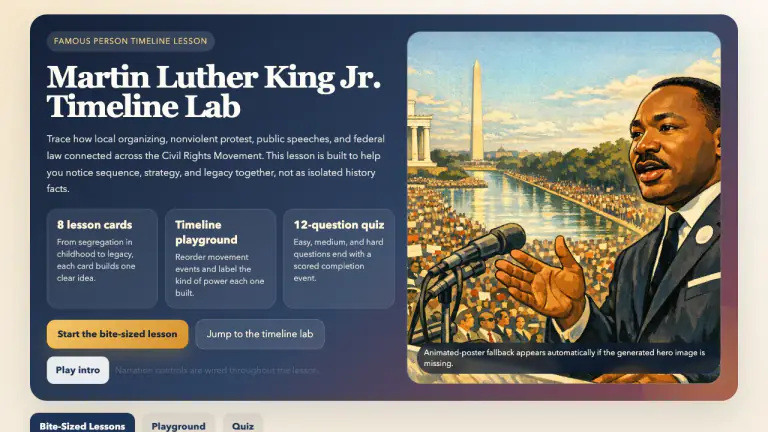
Interactive social studies lesson on Martin Luther King Jr.'s life, nonviolent strategy, major civil rights campaigns, and lasting legacy.
Explore 20 events on a parchment world map with animated isometric scenes, flags, war-entry milestones and a 30-second guided tour. Meet 17 historical figures through portrait dossiers, then test your understanding.
Balance lawmaking, enforcement, and interpretation in an animated checks-and-balances machine.
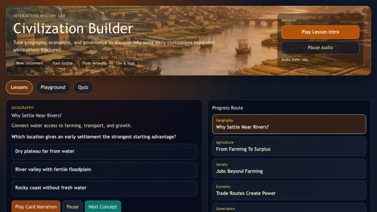
Interactive history lesson where learners balance geography, food surplus, trade, and civic policy to grow a stable civilization.
Explore 20 narrated map scenes, meet the people behind the decisions, investigate the Cuban Missile Crisis, and practice source-based AP U.S. History questions.
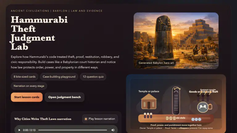
Interactive social studies lesson on how Hammurabi's code treated theft, proof, punishment, restitution, and civic responsibility in ancient Babylon.
Interactive social studies lesson on how Harappan engineers used slope, brick drains, soak pits, and maintenance routines to keep city neighborhoods cleaner and healthier.
Scrub through a changing city and weigh how factories transformed work, transport, health, and daily life.
Steer a simulated economy through inflation, unemployment, output gaps, interest rates, taxes, and public spending.
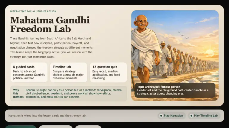
Interactive social studies lesson on Gandhi's life, satyagraha, nonviolent resistance, the Salt March, and India's freedom movement.
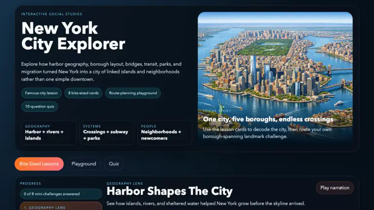
Interactive social studies lesson on New York City's harbor geography, boroughs, landmarks, transit, immigration history, and public spaces.
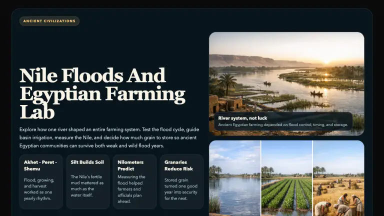
Interactive social studies lesson on how the Nile's annual floods, rich silt, basin irrigation, nilometers, and granaries shaped farming in ancient Egypt.
Build a thriving region by matching land, climate, resources, transportation, and communities.
Route goods and ideas across a connected ancient world while balancing distance, terrain, demand, and risk.
Trace movement, opportunity, danger, culture, and community as millions reshaped the United States.
Trigger events on a living map and trace how alliances, mobilization, nationalism, and imperial rivalry escalated a crisis.